
Gusty Winds and Rainfall: We will provide a comprehensive overview of the anticipated weather conditions as gusty winds and rainfall are expected to impact the region throughout the day.
Our analysis will cover the potential for flooding, regional rainfall projections, winds, and winter storm warning implications.
Additionally, we will explore the anticipated snowfall in the Sierra Nevada mountains and its overall impact on the area.
Key Takeaways Of Gusty Winds and Rainfall
- Widespread heavy rain and strong gusty winds expected throughout the day
- Potential for flooding in low-lying areas
- Treacherous road travel due to reduced visibility and slippery conditions
- Importance of staying updated with weather forecasts and heeding warnings from local authorities

Storm Impact Overview:
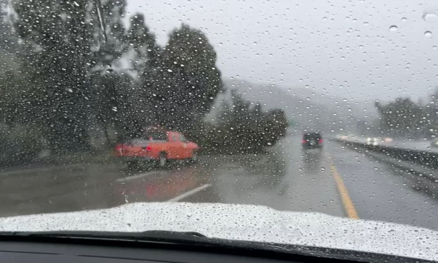
The storm is expected to have a significant impact on the region, with widespread heavy rain and strong gusty winds throughout the day.
As the storm progresses, it will bring a deluge of precipitation, leading to potential flooding in low-lying areas. The heavy rain will not only cause inconvenience but also pose a threat to public safety.
Additionally, the strong gusty winds accompanying the storm will create hazardous conditions, with the potential for downed trees and power outages. It is advised to secure loose items outdoors and stay indoors if possible to avoid any potential harm.
Road travel may become treacherous due to reduced visibility and slippery conditions. It is crucial to stay updated with weather forecasts and heed any warnings or advisories issued by local authorities.
Rainfall and Flood Alerts:
Anticipating heavy rainfall and potential flooding, the region is under rainfall and flood alerts as the day progresses.
The North Bay and surrounding areas are expected to experience steady rain throughout the day, with forecasted rainfall amounts ranging from 1 to 3 inches in the far North Bay and 1 to 1.5 inches in the North Bay Valleys.
These significant rainfall totals have prompted the issuance of a Flood Watch for the Russian River near Hopland, where peak stage and flood concerns are anticipated.
Residents in low-lying areas and those living near rivers and streams are urged to stay vigilant and take necessary precautions to protect themselves and their property.
The rainfall and flood alerts serve as a reminder of the potential dangers posed by heavy rainfall and the need to stay informed and prepared.
Regional Rainfall Projections:
As heavy rainfall and flood alerts continue throughout the day, it is important to consider the regional rainfall projections.
In the Santa Cruz mountains, varied precipitation levels can be expected across different areas. Some regions may experience rainfall amounts ranging from 1 to 2 inches, while others may receive around half an inch to an inch of rain.
These projections indicate a significant amount of precipitation, which can lead to potential flooding and hazardous conditions in low-lying areas. It is crucial for residents in these regions to stay updated on weather forecasts and take necessary precautions to ensure their safety.
Additionally, local authorities should be prepared to respond to any emergencies that may arise due to the heavy rainfall.

Also Read: FurCon 2024 Sparks Economic Boost in Downtown San Jose
Winds and Winter Storm Warning:
Continuing with the weather forecast, residents can also anticipate a Winter Storm Warning due to the expected gusty winds and snowfall conditions. The National Weather Service has issued this warning for the west slopes, where significant snowfall and strong winds are predicted. The combination of these two weather elements can create treacherous conditions, making travel extremely hazardous and potentially causing power outages and damage to structures.
With wind speeds ranging from 20 to 30 mph and gusts reaching up to 40 mph, it is crucial for residents to take necessary precautions. Securing loose objects, ensuring adequate insulation, and stocking up on essential supplies are all recommended actions. Additionally, individuals should refrain from unnecessary travel during this time to avoid putting themselves and others at risk.
It is important to stay updated on weather advisories and warnings, as the intensity and duration of the storm may vary. Following the guidance of local authorities and being prepared for potential disruptions can help ensure the safety and well-being of everyone affected by this winter storm.
Sierra Nevada Snowfall and Overall Impact:
The significant snowfall in the Sierra Nevada region will have a substantial impact on the overall conditions and safety of residents. Here are four key points to consider:
- Road Conditions: The heavy snowfall will make driving conditions treacherous, especially in higher elevations. Roads may become icy and visibility may be limited, increasing the risk of accidents. It is crucial for drivers to exercise caution and consider postponing non-essential travel until conditions improve.
- Power Outages: The weight of the snow on power lines can cause them to snap, resulting in power outages. Residents should be prepared for potential disruptions to electricity and have emergency supplies on hand, such as flashlights and non-perishable food items.
- Outdoor Activities: Outdoor enthusiasts should take extra precautions while engaging in winter activities. Avalanche risks may be heightened, and it is essential to check local advisories and carry necessary safety equipment, such as an avalanche beacon and shovel.
- Impact on Wildlife: The heavy snowfall can also affect wildlife in the Sierra Nevada region. Animals may struggle to find food and shelter, and their natural habitats may be disrupted. Residents should avoid disturbing wildlife and provide assistance if necessary, such as leaving out food for birds.

Conclusion Of Gusty Winds and Rainfall
As the day progresses, we can expect gusty winds and rainfall across the region.
There are also alerts for potential flooding due to the heavy rainfall.
The Sierra Nevada area will experience snowfall, which may have an impact on travel and outdoor activities.
It is important to stay updated on the weather conditions and take necessary precautions to ensure safety.
Our Reader’s Queries
What does gusty wind indicate?
A wind gust is a sudden and brief surge in wind speed. In the United States, gusts are recorded when the wind speed reaches a minimum of 16 knots and the difference between the highest and lowest wind speeds is at least 9 knots.
What are the implications if the wind is gusty?
Strong gusts of wind have the potential to wreak havoc on our surroundings. They can topple trees and power lines, send debris flying, and even cause buildings to crumble. This can result in power outages, transportation delays, and damage to structures and vehicles. In the worst-case scenario, people can be hurt or even lose their lives. It’s important to be aware of the dangers of high winds and take necessary precautions to stay safe.
How does wind direction affect rainfall?
As air masses approach the windward side of a mountain, they are forced upwards, resulting in rainfall and increased precipitation at higher elevations. The amount of precipitation on the leeward side, however, will depend on the size of the mountain and the effectiveness of the release processes. Generally, precipitation will decrease on the leeward side.
What is the relationship between strong winds and rainfall?
Studies have observed that storms with stronger winds result in higher rainfall rates. Researchers have hypothesized that the combination of elevated sea surface temperatures and stronger storms could be the reason behind the anticipated rise in rainfall rates.