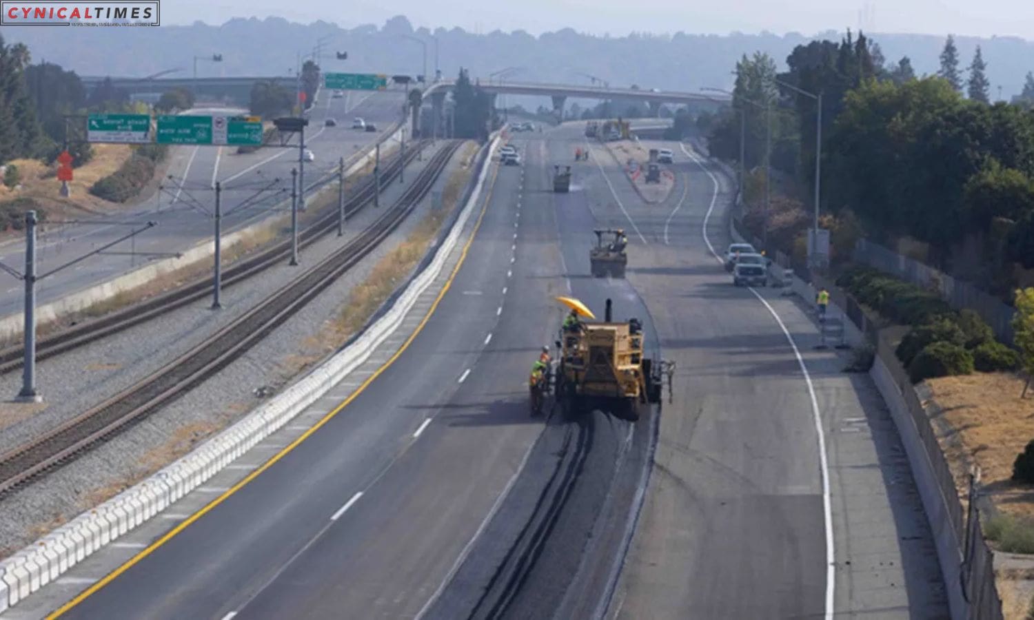
Caltrans Plans Weekend Closure: South Bay commuters should brace for traffic disruptions this weekend as Caltrans initiates a 56-hour closure of a section of southbound Highway 87 in San Jose. The closure, stretching from Interstate 280 to Highway 85, is scheduled to begin on Friday at 9 p.m. and conclude at 5 a.m. on Monday.
During this closure, Caltrans advises using the following detours:
– Southbound Interstate 280 to southbound Highway 101 to northbound Highway 85.
– Northbound Interstate 280 to southbound Highway 17 to southbound Highway 85.
But why is Highway 87 being closed? Caltrans states that it’s a necessary measure to remove old asphalt and repave this section of the highway. Victor Gauthier, a Caltrans official, acknowledges the public’s concerns about potholes and drainage issues and asserts that it’s time for these improvements.
Additionally, the closure provides an opportunity for crews to upgrade guardrails and barriers, address curb ramps at six intersections, enhance traffic signals, and improve drainage facilities. This comprehensive effort aims to ensure smoother traffic flow, especially during adverse weather conditions.
This closure is the second of two planned by Caltrans as part of a broader rehabilitation project for Highway 87. While the rehabilitation work will continue into 2024, there are currently no other scheduled closures related to this project.
Also Read: Santa Clara County Vision for Housing: Transforming a Golf Course into a New Neighborhood”
Our Reader’s Queries
How do I check for road closures in California?
Head over to Caltrans QuickMap for a comprehensive view of real-time traffic updates. With a Google Map as the backdrop, you can easily access information on traffic speed, lane closures, road closures due to construction and maintenance activities, and incident reports. Stay informed and plan your route accordingly with this handy tool.
What is the number for Caltrans road closures?
Stay informed about the latest highway conditions by checking online or calling 1-800-427-7623. This helpful resource provides up-to-date information on road closures, traffic delays, and other important details. Don’t let unexpected road conditions catch you off guard – stay in the know and plan your route accordingly.
What is the app for California road closures?
QuickMap is a traffic information app that offers real-time updates on road conditions across the State highway system. It’s important to note that QuickMap is not a navigation app, but rather a resource for staying informed about traffic. With QuickMap, you can easily access up-to-date information on road closures, accidents, and other incidents that may impact your commute. Stay ahead of the game and avoid delays with QuickMap.
Is Caltrans the same as Department of Transportation?
Caltrans is the agency in charge of California’s State Highway System and the portion of the Interstate Highway System within the state. They handle everything from designing and constructing roads to maintaining and operating them. Essentially, they’re responsible for keeping California’s highways running smoothly.

