

Southern California Weather Update: As the sun rises over Southern California, a sense of calm and serenity settles upon the region. The azure sky stretches out endlessly, devoid of any dark clouds or signs of impending turmoil.
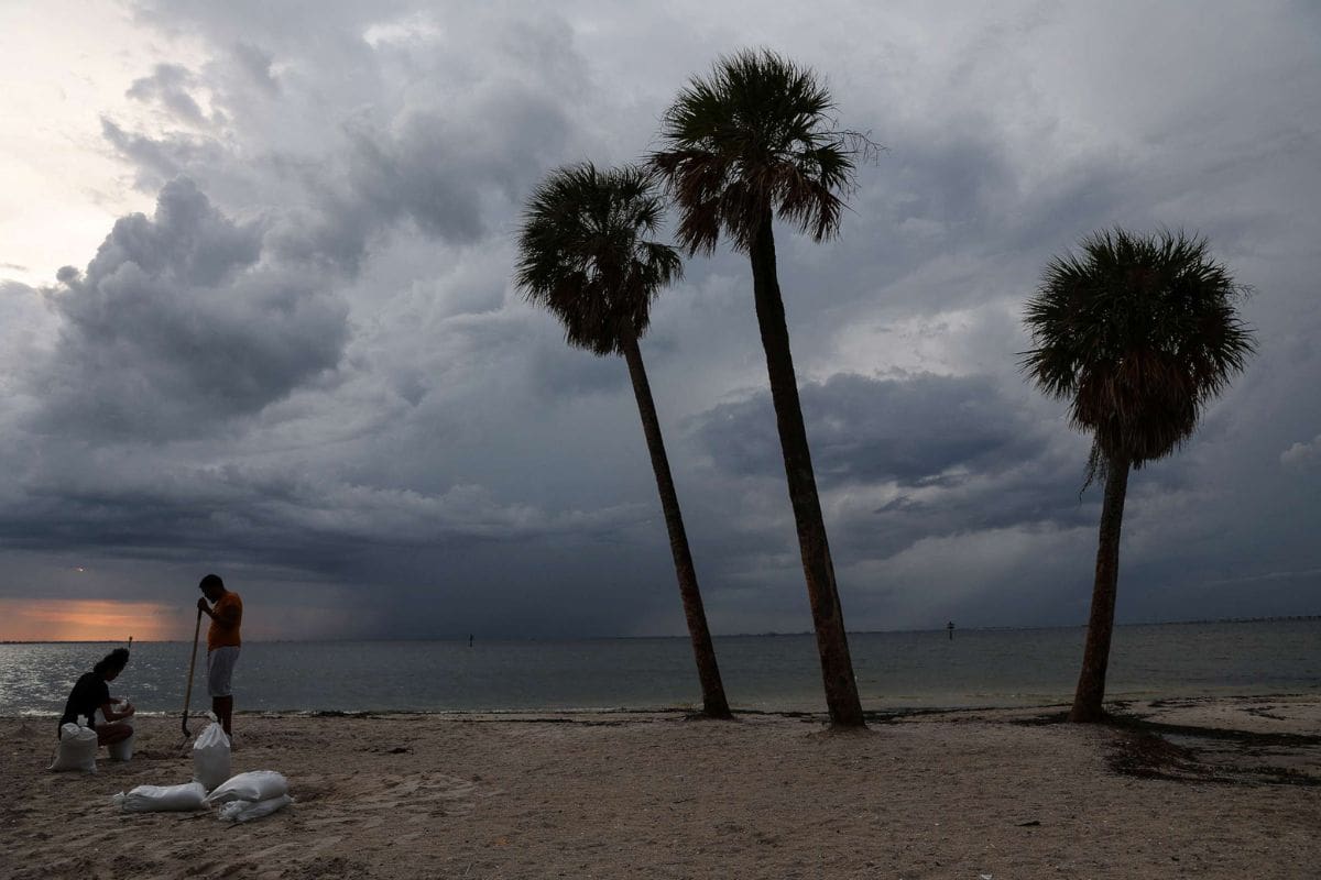
However, this tranquil facade belies the approaching storm surge that threatens to disrupt the peaceful atmosphere. A powerful atmospheric river, fueled by a complex interaction of weather systems, is barreling towards the coast, bringing with it heavy rains, gusty winds, and the potential for flash flooding.
While residents may be enjoying the respite of clear skies, it is crucial to remain vigilant and prepared for the imminent weather onslaught. The impending storm surge not only poses risks to Southern California but also extends its reach to the Northwest U.S. and British Columbia, where similar weather conditions are expected.
The potential impacts are vast, from disrupted travel plans and power outages to potential damage to infrastructure and property. With uncertainty looming in the forecast, it is imperative to stay informed and take necessary precautions to ensure the safety and well-being of all those in the storm’s path.
Key Takeaways
– Warm and sunny weather currently in Southern California with temperatures reaching up to 79 degrees
– Impending atmospheric river expected to bring heavy rainfall, with up to two inches anticipated in certain areas by the weekend
– Storm forecasted to intensify on Thursday and last until the weekend, impacting snow levels and gradually subsiding thereafter
– Residents in Northwest U.S. and British Columbia should remain vigilant as the persistent atmospheric river may lead to significant rainfall and elevated landslide risk.

Also Read: Southern California Weekend Weather Breakdown
Current Weather Conditions in Southern California
Currently, Southern California is experiencing warm and sunny weather, with temperatures reaching as high as 79 degrees in Los Angeles and Orange counties, 77 degrees in the Valleys and Inland Empire, and 70 degrees in the deserts. The region is basking in delightful conditions, with clear blue skies and abundant sunshine.
This weather is perfect for outdoor activities and enjoying the natural beauty that Southern California has to offer. Whether it’s a beach day, a hike in the mountains, or simply lounging in the backyard, residents can revel in the pleasant warmth.
However, it is important to note that this sunny weather is expected to be short-lived, as a significant weather shift is predicted later in the week. So, while the current weather conditions are ideal, it is advisable to stay tuned for upcoming updates.
Impending Atmospheric River in Southern California
As the pleasant warmth of the current sunny weather in Southern California begins to fade, a significant weather shift looms on the horizon with the impending arrival of an atmospheric river. This weather phenomenon is set to bring heavy rainfall to the region, with up to two inches anticipated in certain areas by the weekend.
Here are three key details about the impending atmospheric river:
1. Light rainfall is expected to commence by Wednesday evening, intensifying into a full-blown storm on Thursday. This means that Southern California residents should prepare for a sudden change in weather conditions.
2. Snow levels will also be affected by this atmospheric river, starting at 7500 feet on late Wednesday and dropping to 3500 feet by Friday. Over a foot of snowfall is anticipated, making it crucial for mountainous areas to be prepared for hazardous conditions.
3. The storm is forecasted to last until the weekend, gradually subsiding and allowing for the return of clearer skies and more stable conditions. However, it is important to stay updated with the latest weather reports and advisories as conditions can change rapidly.

With the impending atmospheric river, Southern California residents must remain vigilant and take necessary precautions to ensure their safety and well-being.
Weather Conditions in Northwest U.S. and British Columbia
Meteorologists at AccuWeather are closely monitoring an atmospheric river that is expected to persistently drench the Northwest U.S. and British Columbia in the upcoming days, bringing additional waves of heavy rain. This atmospheric river is a long and narrow band of moisture that originates from the Pacific Ocean and can carry vast amounts of water vapor. The forecast suggests that certain areas may accumulate up to a foot of rainfall by the end of the month. To provide a visual representation of the potential impact.
Saturated soils, coupled with melting snow, raise the potential for an elevated landslide risk across the varied terrain of western Washington and Oregon. Residents in these areas should remain vigilant and take necessary precautions to ensure their safety.
Potential Risks and Impacts in Northwest U.S.
The continuous flow of moisture over the past several days in the Northwest U.S. has raised concerns about potential risks and impacts in the region. As the precipitation extends into the new week, there are three main areas of concern:
1. Street and highway ponding: The heightened precipitation increases the risk of water accumulating on roads and highways. This could lead to ponding, making travel difficult and potentially disrupting transportation along major routes such as Interstates 5 and 90.
2. Travel disruptions: With the potential for street and highway ponding, there is a risk of travel disruptions in the region. Motorists should exercise caution and be prepared for delays or detours as a result of the adverse weather conditions.
3. Increased rainfall in western Washington: Forecasters predict an additional 1-2 inches of rain in western Washington, with even higher amounts in upslope regions. This could lead to localized flooding and increased saturation of the ground, potentially causing landslides in areas prone to such hazards.
It is important for residents and travelers in the Northwest U.S. to stay informed about the weather conditions and take necessary precautions to ensure their safety.
Future Weather Outlook and Precautions
Looking ahead, the weather outlook for the Northwest U.S. calls for a more expansive wave of moisture to reach the West Coast by late Tuesday into Wednesday. This weather system has the potential to impact areas from southwest Canada to Central California.
As this storm surge approaches, residents are strongly advised to stay informed and take necessary precautions to ensure their safety. AccuWeather provides real-time updates and alerts through its app, allowing individuals to monitor the situation closely. With the weather conditions evolving, continuous monitoring is crucial to stay ahead of any potential risks.
It is important for the public to remain vigilant and heed any warnings or advisories issued by local authorities. By staying informed and prepared, individuals can mitigate the potential impacts of this upcoming storm surge.
Conclusion Of Southern California Weather Update
Southern California is currently experiencing sunny weather conditions before an impending storm surge caused by an atmospheric river.
Meanwhile, the Northwest U.S. and British Columbia are also facing challenging weather conditions. There are potential risks and impacts in the Northwest U.S. due to this weather system.
It is important for residents in these areas to stay informed about the future weather outlook and take necessary precautions to ensure their safety.